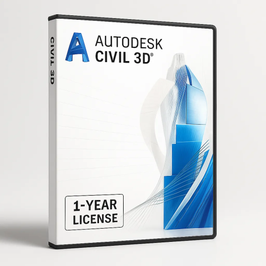
Autodesk Civil 3D – Advanced Civil Engineering Design, BIM & Infrastructure Modeling Software for Professionals (1-Year License)
Autodesk Civil 3D (2022–2025) is an AutoCAD-based civil engineering platform for designing and documenting roads, land development, and utility networks in a BIM-ready 3D environment. The 2022–2025 releases add faster corridor/pressure-network workflows, built-in Project Explorer, improved ArcGIS integration, and performance gains for large projects.
- Roadway & corridor design with dynamic sheets
- Grading, parcels, earthwork, and quantities
- Gravity & pressure network modeling
- BIM/GIS interoperability and automation (Dynamo)
💬 You’ll receive the activation key via WhatsApp message right after payment
✅ Trusted by over 5,000+ customers
💬 ستتلقى مفتاح التفعيل عبر رسالة واتساب مباشرة بعد الدفع
✅ موثوق من أكثر من 5000 عميل
Free Delivery
Free delivery on orders above 20 JOD
Delivery within 3 days.
The exact terms and conditions will be available after registration.

FREE DELIVERY ON ORDER ABOVE 20 JOD
SMS Confirmation Second Line
Please Note: Items in this category are not able to be returned or exchanged, please understand.

Return and exchange goods are not supported.
Guarantee
Please Note: Items in this category are not able to be returned or exchanged, please understand.

We guarantee quality delivery
Payment Security
Please Note: Items in this category are not able to be returned or exchanged, please understand.

We guarantee quality delivery
Autodesk Civil 3D – Advanced Civil Engineering Design, BIM & Infrastructure Modeling Software for Professionals (1-Year License)
Autodesk Civil 3D (2022–2025) — Advanced Civil Engineering & Infrastructure Design
Autodesk Civil 3D (versions 2022, 2023, 2024, and 2025) is a comprehensive civil engineering and BIM-ready design platform built on AutoCAD. It empowers engineers, surveyors, and infrastructure designers to efficiently plan, design, and document transportation, land development, and water projects in a dynamic 3D environment.
Available Versions
- Civil 3D 2022: Focused on stability, pressure-network enhancements, and Dynamo automation improvements.
- Civil 3D 2023: Added corridor target mapping, label transparency, and enhanced ArcGIS integration.
- Civil 3D 2024: Introduced Project Explorer (included by default), improved subassembly management, and performance boosts.
- Civil 3D 2025: Refined corridor transitions, enhanced data exchange with InfraWorks, and new geotechnical tools for more accurate ground modeling.
Core Capabilities
- Roadway & Corridor Design: Develop complex alignments, profiles, and corridors with smooth transitions, roundabouts, and intersections.
- Land Development & Grading: Model terrain, design parcels, perform cut/fill analysis, and generate detailed grading plans.
- Pipe & Pressure Networks: Create and analyze storm, sanitary, and pressure systems with fittings and profile views.
- Documentation Automation: Produce plan, profile, and section sheets automatically with live label updates.
- BIM & GIS Integration: Connect directly to ArcGIS and Autodesk Docs for accurate spatial coordination and data exchange.
- Project Management: Use Project Explorer, Data Shortcuts, and shared subassemblies to keep team workflows synchronized.
- Automation & Customization: Harness Dynamo for Civil 3D and the API for automating repetitive design processes.
New and Enhanced Features (Across 2022–2025)
- Corridor Transitions: Enhanced flexibility for defining variable widths, slopes, and materials across regions.
- Subassembly Management: Shared PKT files, live update notifications, and improved organization for corridor components.
- Pressure Network Tools: Merge, convert, and edit networks dynamically with improved visual feedback in plan and profile.
- ArcGIS Connector: Broader geometry support and improved data synchronization for BIM-GIS workflows.
- Performance & Label Controls: Visibility toggles and performance optimizations for large datasets.
- Geotechnical Tools (2025): Direct subsurface modeling, borehole data management, and enhanced terrain analysis.
Key Benefits
- Integrated BIM workflows for smarter infrastructure design and collaboration.
- Faster project delivery through automation, templates, and data shortcuts.
- Higher accuracy with dynamic updates across models and documentation.
- Enhanced collaboration using Autodesk Docs, InfraWorks, and ArcGIS integrations.
System & Licensing Information
- Platform: Windows 64-bit.
- File Format: DWG (compatible across 2022–2025 versions).
- License Type: 1-Year Subscription (renewable annually).
- Access: Includes previous releases (up to 3 prior versions) under active subscription.
Typical Use Cases
- Highway and roadway design with intersections and superelevation.
- Residential and commercial site grading and parcel design.
- Drainage and utility network modeling (gravity and pressure systems).
- Earthwork volumes and construction documentation.
- BIM and GIS data integration for planning and analysis.
Why Choose Civil 3D (2022–2025)
- Trusted industry standard for civil engineering design and documentation.
- Consistent yearly updates with enhanced automation and performance.
- Full interoperability with Autodesk’s infrastructure ecosystem (InfraWorks, ReCap, Docs, Navisworks).
- Streamlined design-to-construction workflows with integrated data exchange.
Included Components
- Autodesk Civil 3D application (latest version: 2025)
- Project Explorer (included by default since 2024)
- Dynamo for Civil 3D automation tools
- Country kits and style libraries for regional standards
- Access to updates, Autodesk support, and cloud collaboration tools
At a Glance
- Versions Included: 2022, 2023, 2024, 2025
- License Duration: 1 Year (renewable)
- Discipline: Civil Engineering, Infrastructure & Land Development
- Focus Areas: Roads, Land, Water, BIM Integration
- Key 2025 Improvements: Geotechnical tools, smoother corridor transitions, refined interoperability
Data sheet
- Model
- Autodesk Civil 3D


